Mount Karthala, volcano and forest
The highest peak in the Comoros is one of the most active volcanoes in the Indian Ocean. Its slopes carry a forest where birds live that are found nowhere else on Earth.
Key facts
The volcano in figures
2,361 m
The highest point in the Comoros archipelago. The volcano covers the whole southern half of Grande Comore (Ngazidja).
30 × 15 km
A shield volcano with long, regular slopes built by basalt lava flows, extended by two fissure zones: 25 km to the north and 12 km to the south-east.
3 × 4 km
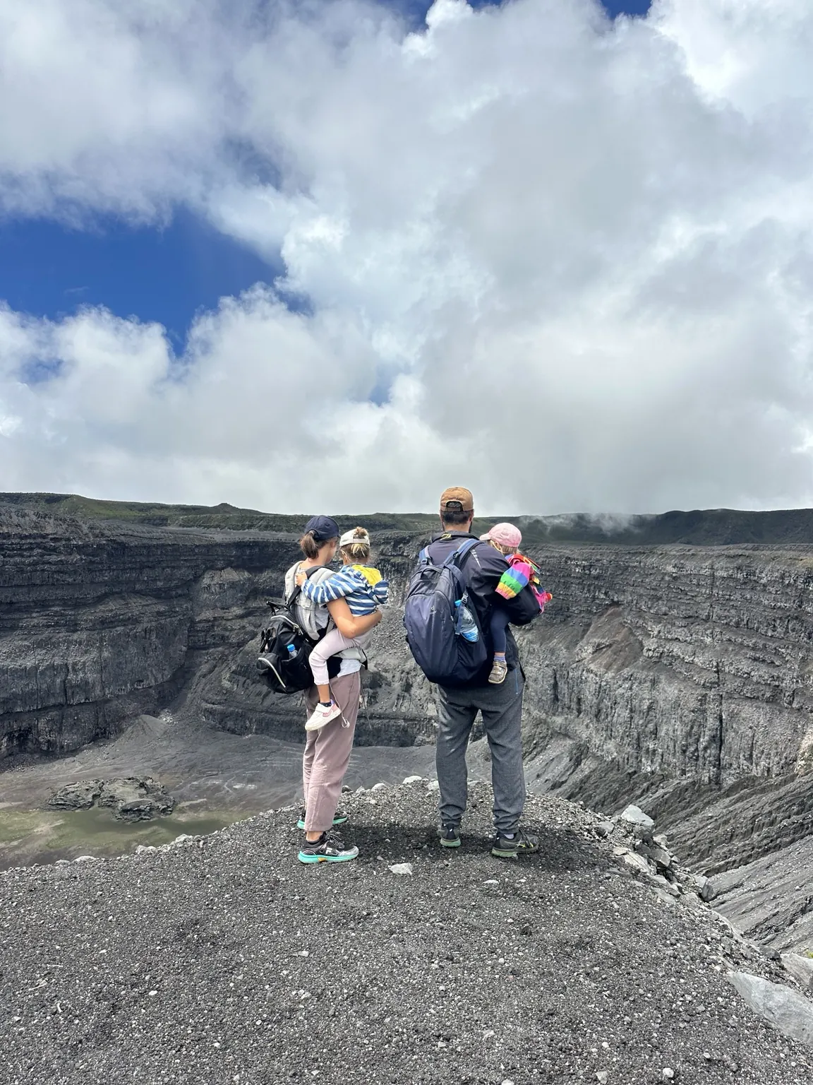
The summit caldera, formed by successive collapses. In its centre lies the Choungou Chahalé crater, about 300 m deep.
20+ eruptions
Since the early 19th century. The last confirmed eruption was in January 2007; a yellow alert was raised in 2022. The Karthala Volcano Observatory has monitored it since 1988.
26,214 ha
The area of Karthala National Park. The massif has also been a Ramsar site since 2006 and is an Important Bird Area.
Explore
Understand Karthala before you climb it
Geology and eruptions
How the volcano was built, two centuries of eruptions from Singani in 1977 to the 2022 alert, and how the Observatory monitors it.
ReadWildlife and plants
Birds found only here, and the medicinal plants of the Comoros: traditional uses and preparations.
ReadStories and legends
King Solomon’s ring, the djinns of the crater, the mosque of Singani, the explorers and the names of the volcano.
ReadLandscapes
From the shore to the caldera, five layers of nature
Climbing from Mvouni, you pass through fields and villages, strawberry guava thickets, the dense rainforest, then a shrubby savannah of giant heather, and finally the low scrub and bare rock of the summit.
Grande Comore has almost no permanent rivers: rain seeps into the porous lava and feeds underground water tables. The Karthala forest, which captures water from the clouds, plays a vital role for the island’s water.


On site
What you see at the top
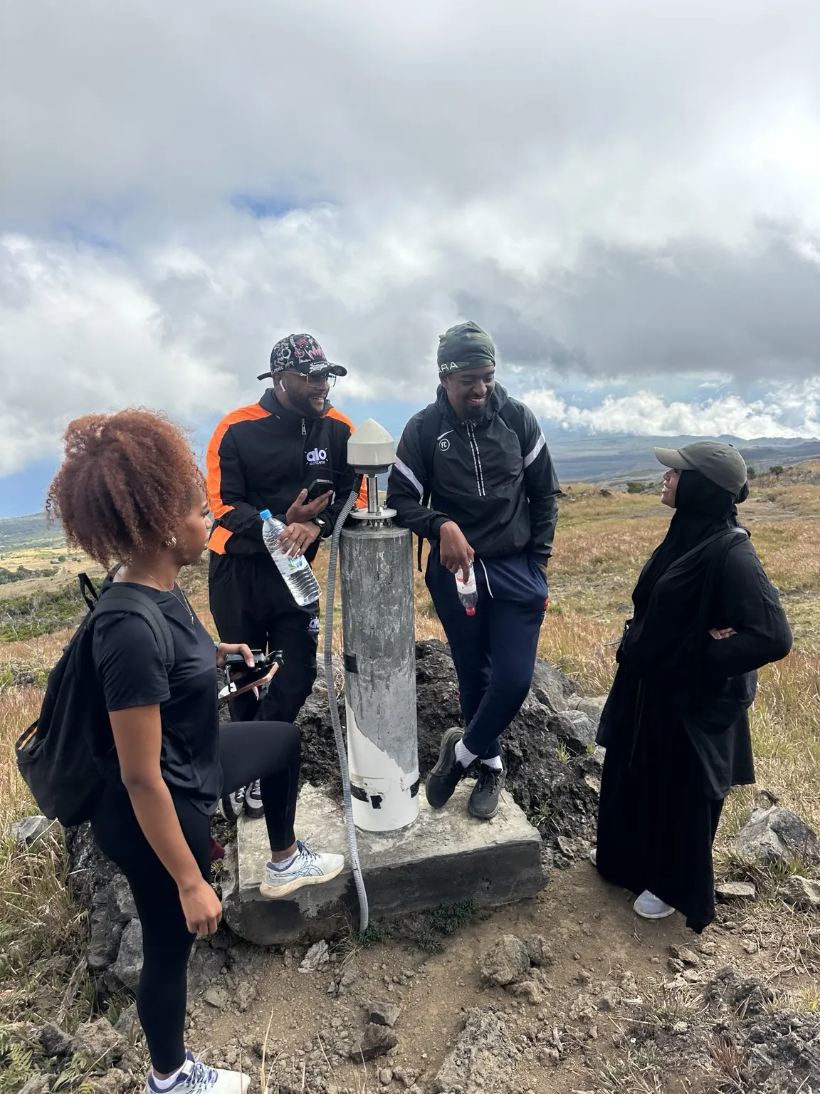
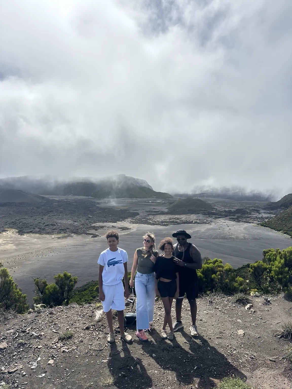
At the edge of the caldera, the landscape changes at once: after the forest and the heather, a vast plateau of lava and ash, enclosed by walls, with the Choungou Chahalé in the centre, a crater about 1.3 km by 800 m. A lake filled its floor from 1991 to 2005, before disappearing during the April 2005 eruption.
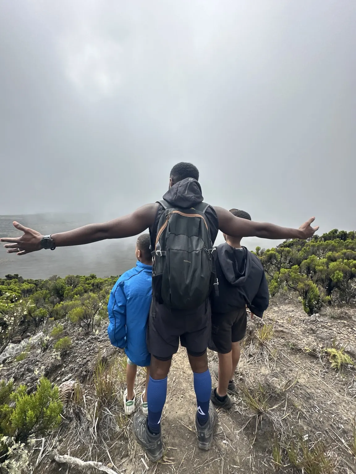
On a clear day, the view reaches the coast. But the summit is often in the clouds: that is one of the reasons trips start early, and the view is never guaranteed.
In pictures

See this landscape with your own eyes
All four tours lead to the caldera: by 4×4 with a short walk, on a two-hour hike, with a night at the bivouac, or on the full climb from Mvouni.
Sources
- Global Volcanism Program, Smithsonian Institution: Karthala (233010), and its activity reports (April 2005, January 2006, January 2007)
- P. Bachèlery et al., “Structure and Eruptive History of Karthala Volcano”, in Active Volcanoes of the Southwest Indian Ocean, Springer, 2016
- Wikipédia (French): Karthala (eruption timeline, dimensions, Ramsar status)
- Wikipedia: Mount Karthala (crater lake, National Park, Important Bird Area)
- Comoros biodiversity clearing-house: the Karthala area (in French)
Sources checked in September 2026. Spotted a mistake or have something to add? Write to us: this page is updated as facts are checked.